Drone Utilization in the AEC Industry
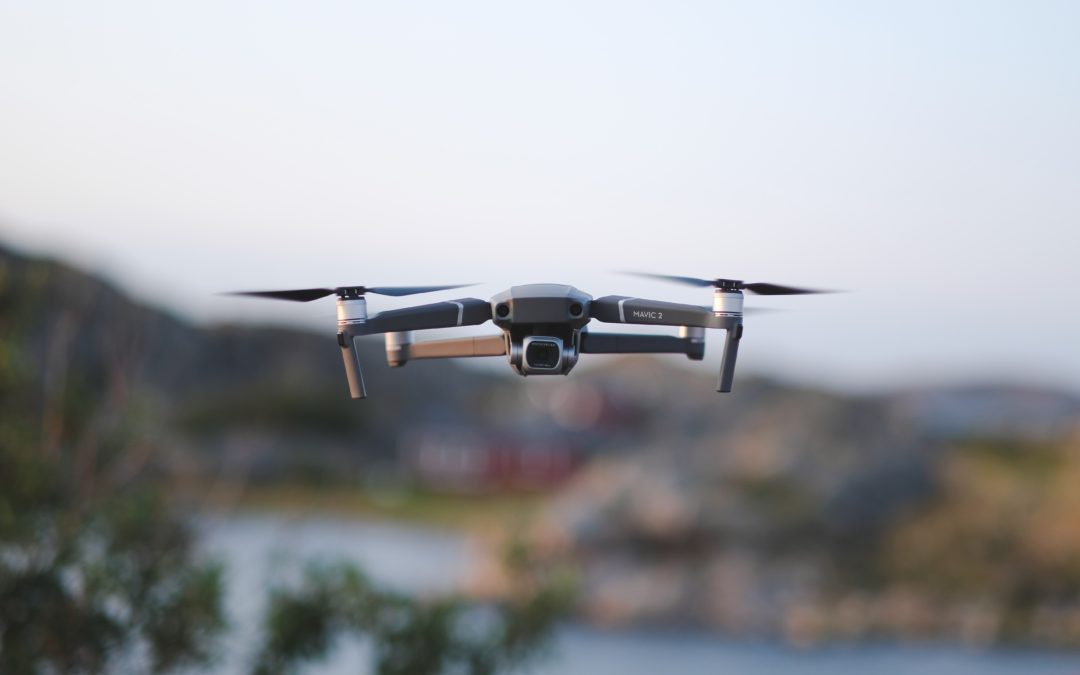
Drones are small, remote-controlled, unmanned aerial vehicles (also referred to as UAVs). There have been many advances in the usage of drones, but one of the most useful applications has been in the architecture and construction industry.
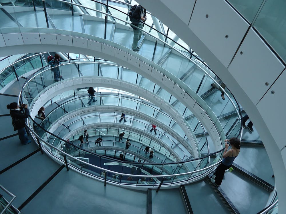
On the forefront of drone utilization in architecture, is the usage of drones for surveying. With their small size and ease of maneuverability, drones make it easier and more cost effective for accessing difficult to reach places. Instead of relying on manpower to try to reach potentially unsafe or challenging terrain, you can simply rely upon a drone to capture data. For example, as opposed to sending a worker into an unsafe environment to photograph and document information, we are now able to fly a drone on-location and obtain the same information with reduced cost as well as reduced risk of injury. This imagery can also be delivered in real-time to team members without the added cost of having the entire team on-site and separated from other important tasks.
With the ability to now carry powerful 8k cameras that can be used to create stunning presentations of an architect’s work and display how it responds to its surroundings.
Drones are also being utilized for digital/laser mapping and modeling. Projects which would typically take months to complete are now being accomplished in minutes using Small Unmanned Aircraft Systems (SUAS). Drones provide a higher level of accuracy to the mapping and modeling process, which eliminates expensive mistakes.
Although using satellite imagery can be sufficient when there are time constraints, these images are typically outdated, low resolution, and the data is typically not accurate. With the advancement in drone technology, architects can now eliminate the need for costly land surveys for creating topographic maps. Instead, the architect, client, land developer etc. can send up a drone and collect the information in a matter of minutes. This information can be shared in real-time with the design team and the collected information can be used to create accurate 3D models. This information can even be directly loaded into programs such as Revit, Autocad, and other 3D modeling software platforms.
I strongly believe that we will continue to see drone usage grow and evolve into an everyday applicable tool, departing from the notion that this technology is simply a “toy or fad”. I also believe, moving forward, that architecture firms will need to know and understand how to apply the use of this tool to better utilize these continuously advancing machines. In 2016 it was reported that the AEC industry will become the largest users of UAV within the next 5 years. Drone utilization is not just a fad and it is important that we continue to adopt the introduction of technological systems that provide increased efficiency, thus saving our clients time and money.
Drone utilization is not just a fad and it is important that we continue to adopt the introduction of technological systems that provide increased efficiency, thus saving our clients time and money.